
Pre Bank Holiday Timed Auction with Many Reduced Start Price Items
Lot 10:
Description
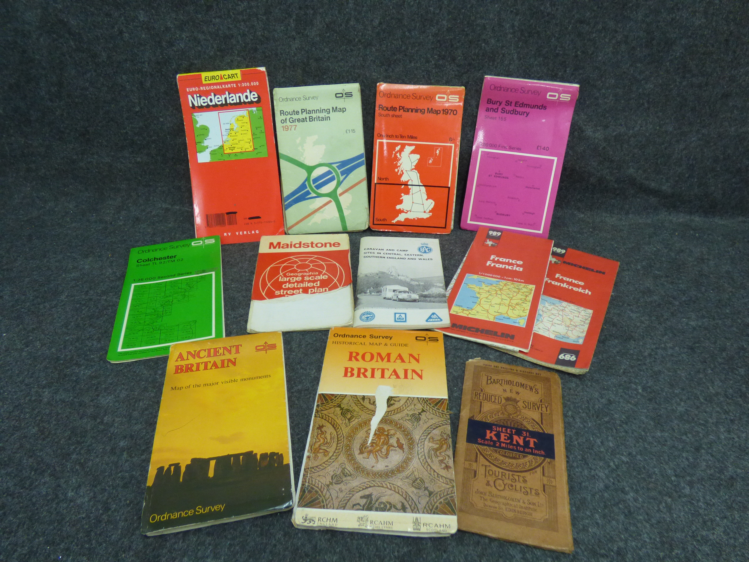
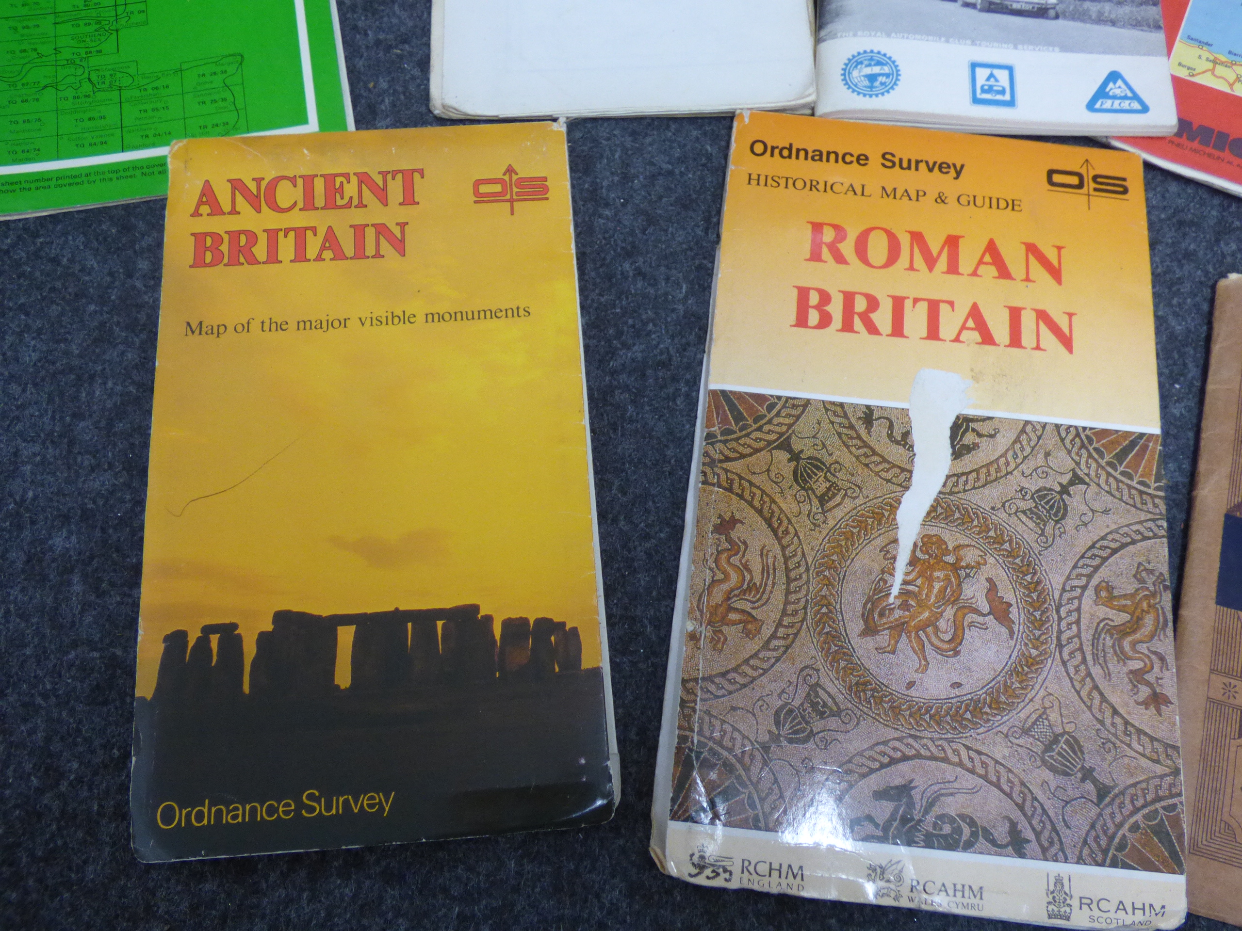
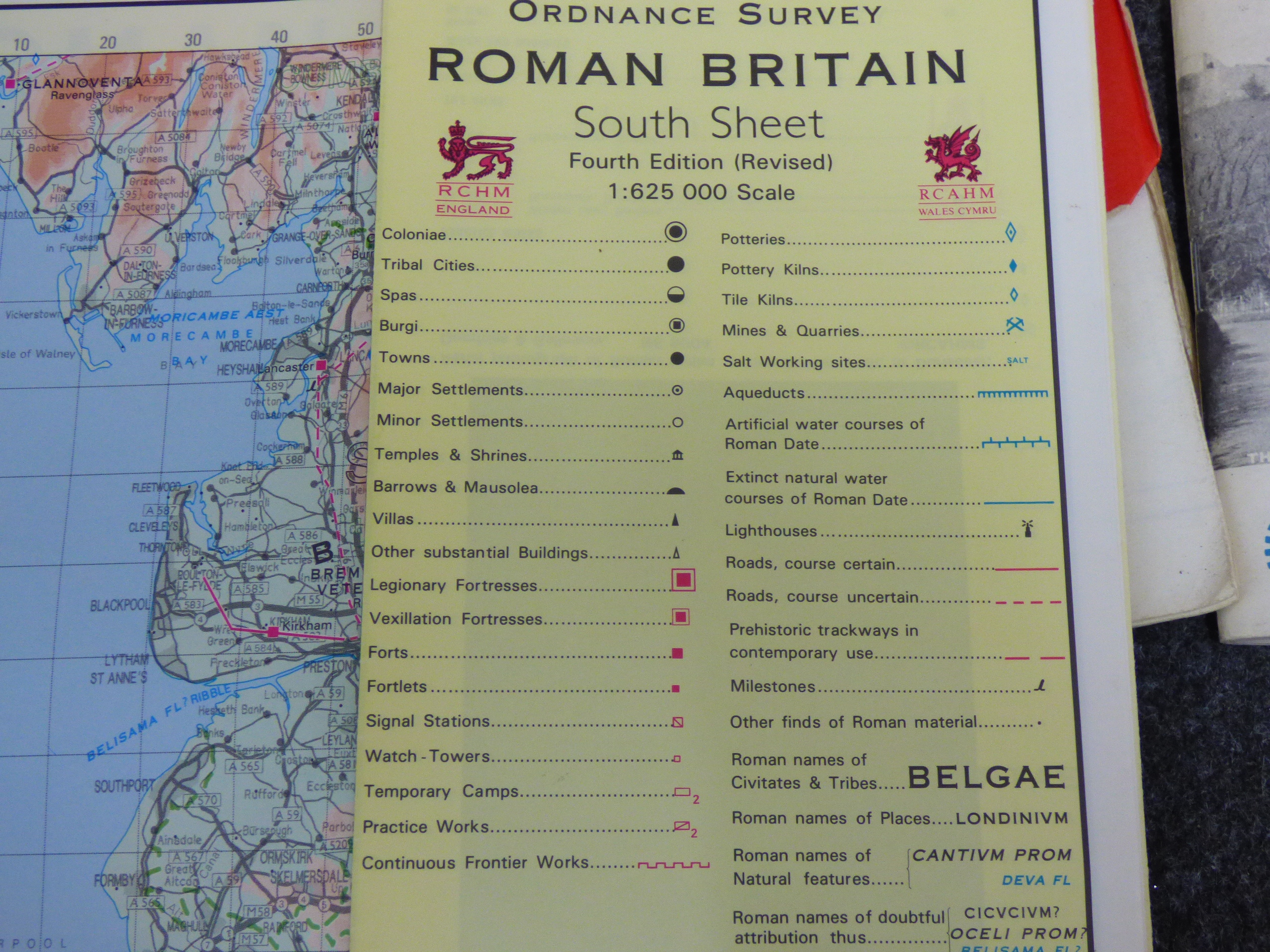
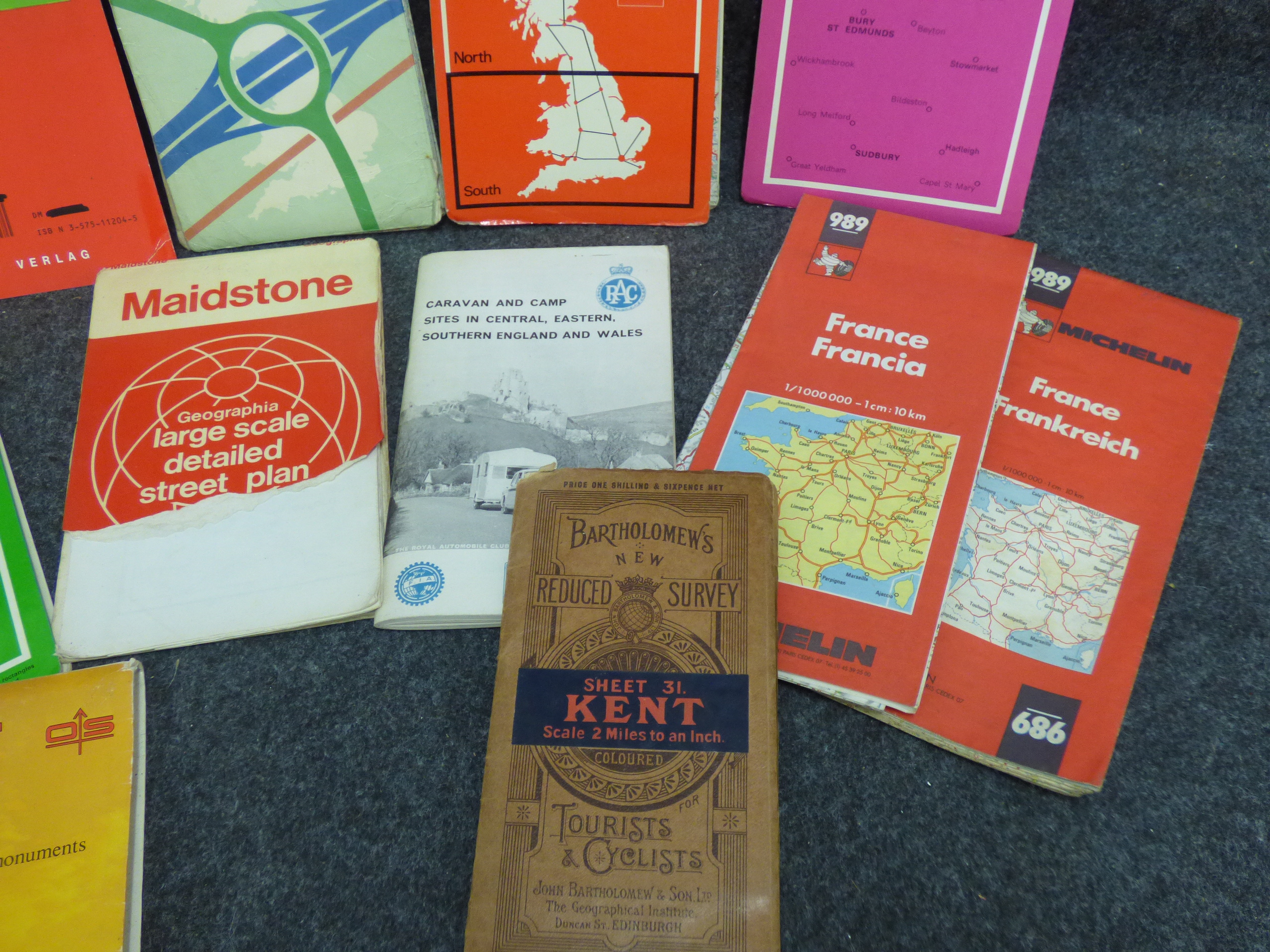
A collection of vintage folding maps and travel guides, primarily focused on Great Britain and Western Europe, dating from the mid-20th century. The collection includes several Ordnance Survey (OS) publications: a Roman Britain Historical Map and Guide (South Sheet, Fourth Edition Revised) at a scale of 1:625,000, published in conjunction with RCHM England and RCAHM Wales and Scotland; an Ancient Britain map of major visible monuments with a yellow pictorial cover; a 1970 Route Planning Map (South Sheet) at a scale of one inch to ten miles with an orange cover; a 1977 Route Planning Map of Great Britain with a light green cover; a 1:50,000 First Series map of Bury St Edmunds and Sudbury (Sheet 155) with a pink cover; and a 1:25,000 Second Series map of Colchester (Sheet TL 92/TM 02) with a green cover. Other cartographic materials include a Bartholomew’s New Reduced Survey of Kent (Sheet 31) at a scale of two miles to an inch, coloured for tourists and cyclists, with tan paper and cloth covers. The lot also contains a Geographia detailed street plan of Maidstone with a red and white cover, an RAC Caravan and Camp Sites guide for Central, Eastern, and Southern England and Wales, two copies of Michelin Map 989 for France at a 1:1,000,000 scale, and a Euro-Regional Karte of the Netherlands (Niederlande) at a 1:300,000 scale published by RV Verlag. Printed marks include the stylized OS block logo, the RAC crowned circular logo, and the Michelin block font.
Share this lot: